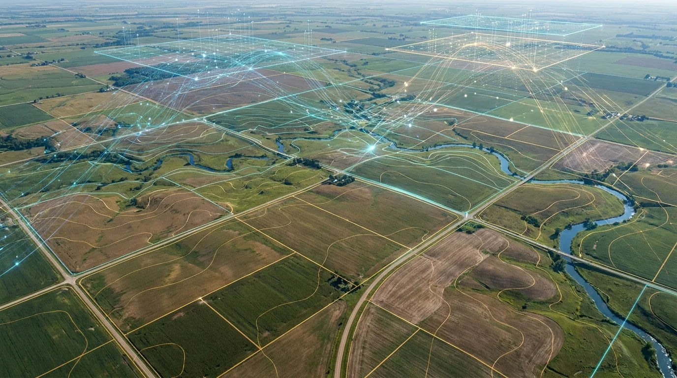
Technology Behind Our Solutions
AI, GIS, satellite monitoring and IoT sensing form the technology layer behind every solution and drone deployment.
Five Layers
One Stack, Five Layers
Geospatial
- Satellite
- GIS
- Remote Sensing
Data
- Field Data
- IoT
- Sensors
- Cloud Data
AI
- Machine Learning
- Computer Vision
- Spatial AI
Platforms
- Web GIS
- Mobile
- APIs
- Dashboards
Automation
- Workflow Automation
- Digital MRV
- Data Processing
Explore Technology
AI & Machine Learning
Models that turn raw imagery and sensor streams into decisions.
GIS & Remote Sensing
Spatial analysis infrastructure underpinning every solution we build.
Satellite Monitoring
Continuous, wide-area monitoring from multi-source satellite feeds.
IoT / Sensors
Ground-truth sensor networks that calibrate and validate remote models.
ArcGISQGISPostGISPythonFastAPIReactAWS
Have a technical question?
Tell us what you're building — we'll walk you through how our stack fits.