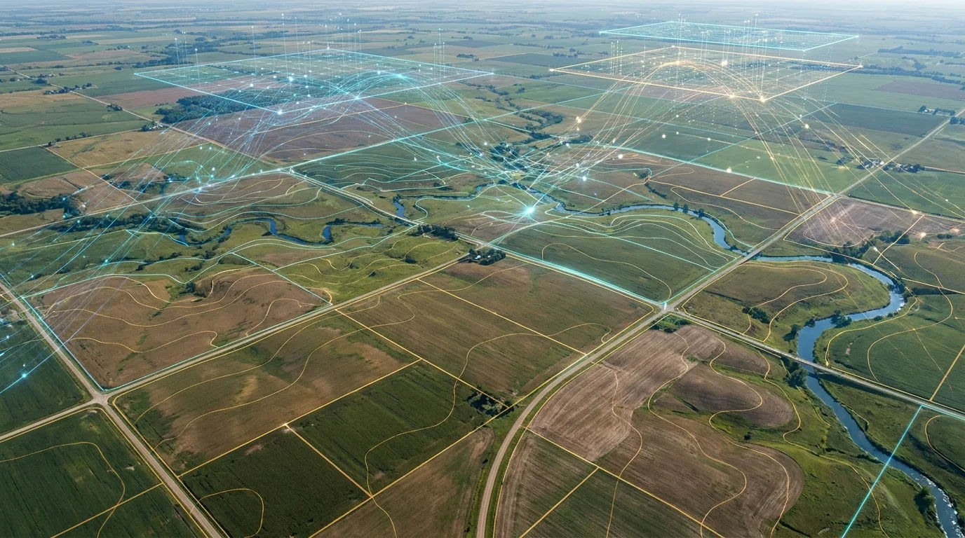
Technology for Smarter Agriculture and Climate Action
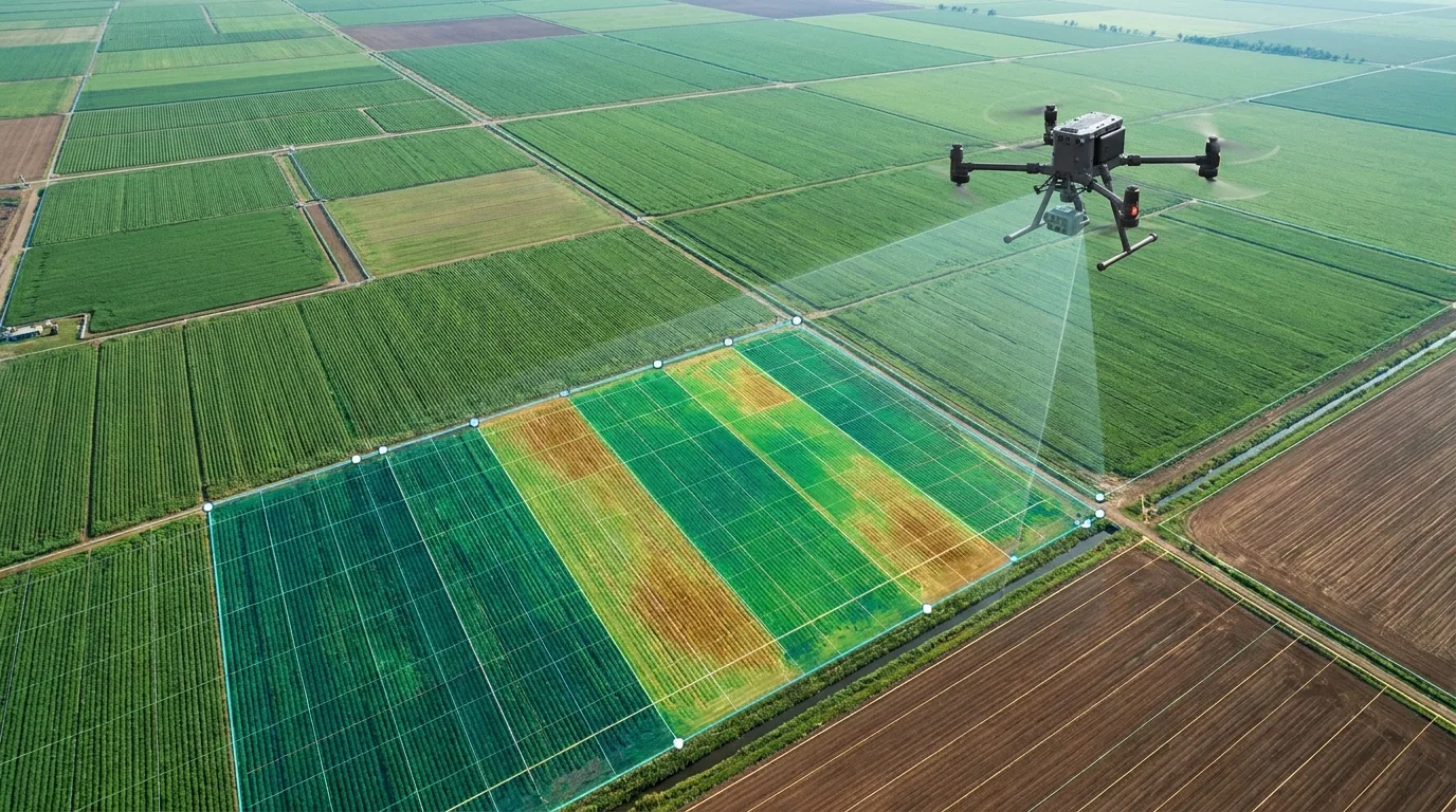
Agricultural drones, geospatial intelligence and digital dMRV — one connected stack turning real-world data into action.
How it works
From Data to Action
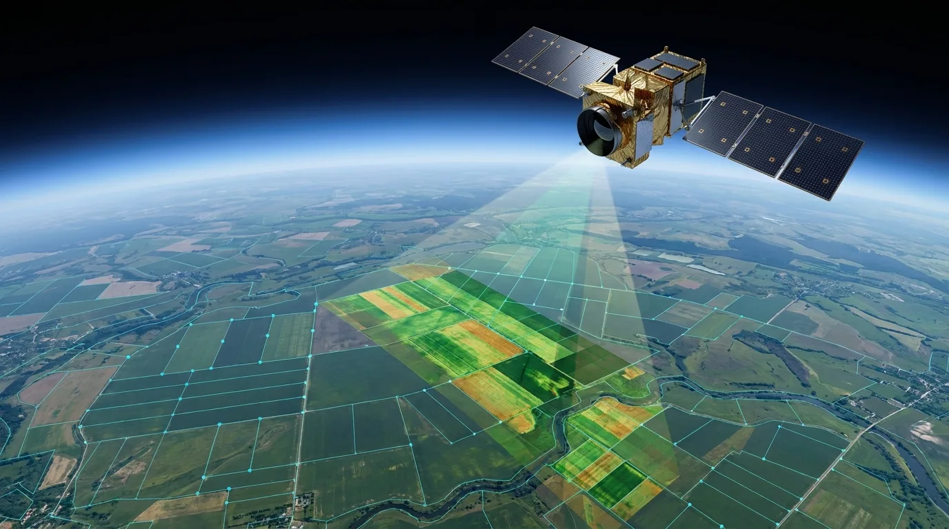
Satellite & Drone
Data Processing
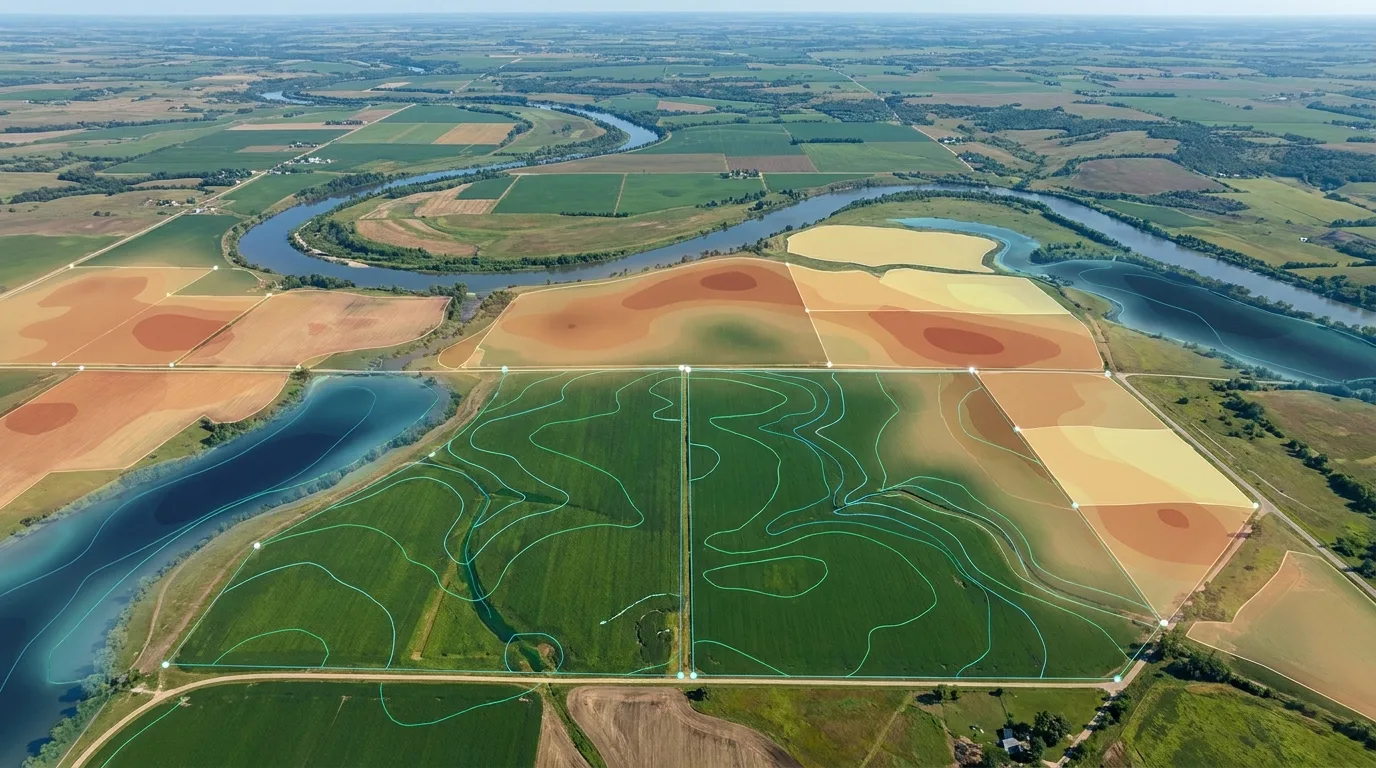
Spatial Intelligence
Action
From the Field
Applications & Case Studies
Why Us
Why Organizations Work With Us
Multi-Source Intelligence
Satellite, drone, field and sensor data combined into one system.
Built for Real Operations
Solutions shaped around agriculture, climate and enterprise requirements.
AI-Enabled
Automation and machine learning reduce manual processing at scale.
Decision-Ready
Outputs built for the people who have to act on them.
Ready to see what technology can do for your operation?
Tell us about your agriculture, geospatial or climate technology challenge — we'll show you how it maps to what we've already built.