Geospatial Intelligence
Geospatial Intelligence
Turning spatial data into actionable intelligence.
We combine GIS, satellite imagery, remote sensing, spatial analytics and AI to transform complex geographic data into insights for agriculture, land, environment, climate and enterprise decision-making.
Value Proposition
From Geographic Data to Business Intelligence
Geospatial intelligence combines location-based data from satellites, drones, GIS databases, sensors and field operations to reveal patterns, risks and opportunities that are difficult to see through conventional data alone.
Map
Accurately represent geographic assets, farms, land and infrastructure.
Monitor
Track changes in land, crops, vegetation and environmental conditions.
Analyze
Identify spatial patterns, risks, relationships and anomalies.
Predict
Use historical and real-time spatial data with AI/ML to support better decisions.
Capabilities
Geospatial Intelligence Capabilities
GIS & Spatial Analytics
Advanced spatial analysis, geographic databases, spatial statistics, suitability analysis, proximity analysis and decision-support mapping.
Satellite Remote Sensing
Extract actionable information from multispectral, SAR and high-resolution satellite imagery.
Change Detection & Monitoring
Monitor land-use changes, vegetation changes, crop changes, infrastructure development and environmental changes over time.
AI & Machine Learning
Apply AI and machine learning to classification, object detection, anomaly detection, forecasting and spatial prediction.
Drone & High-Resolution Data
Integrate drone imagery, orthomosaics, photogrammetry and field-level data into geospatial intelligence workflows.
Geospatial Data Platforms
Build web GIS platforms, spatial databases, dashboards, APIs and enterprise geospatial applications.
Data Sources
Integrating Multiple Sources of Geospatial Data
Every intelligence output starts by bringing many kinds of geographic data together into one platform.
Agriculture
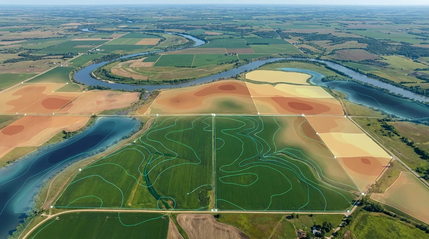
Geospatial Intelligence for Agriculture
Crop Mapping
Identify and map crop types and agricultural areas using geospatial data.
Crop Health Monitoring
Monitor vegetation health and identify spatial variations across fields.
Crop Acreage Estimation
Estimate crop areas across farms, villages, districts and larger regions.
Yield Intelligence
Combine spatial, environmental and historical data to support yield estimation and production forecasting.
Agricultural Risk
Identify drought, flood, crop stress and other spatial risks affecting agricultural production.
Earth Observation
Satellite Intelligence
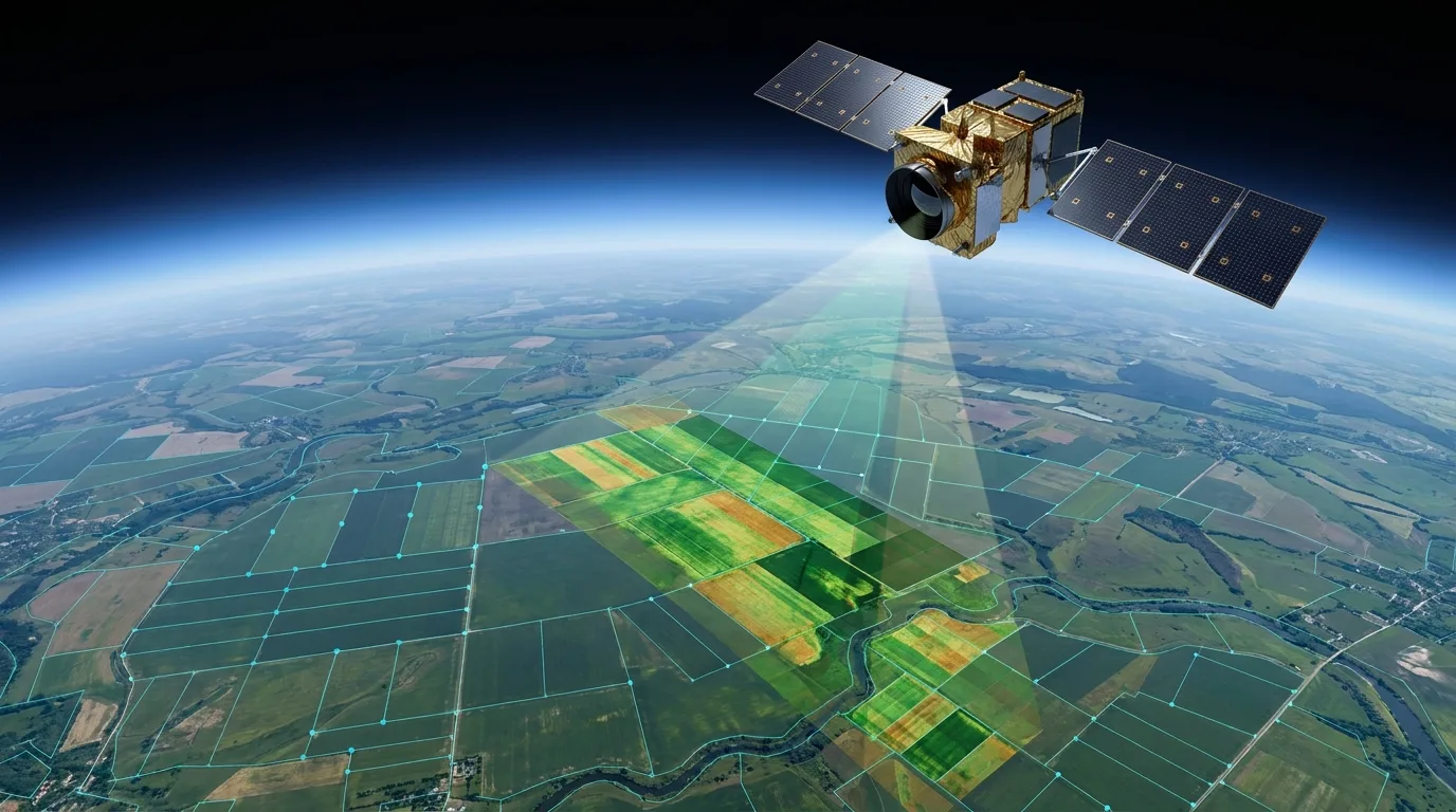
Convert Earth-observation imagery into measurable information about land, crops, vegetation and environmental conditions.
Satellite
Multispectral / SAR Imagery
Image Processing
GIS Analysis
Agricultural / Environmental Intelligence
Spatial Analytics
Advanced Spatial Analytics
Understand where events occur, why they occur and how geographic relationships influence business and environmental outcomes.
AI
AI Meets Geospatial Intelligence
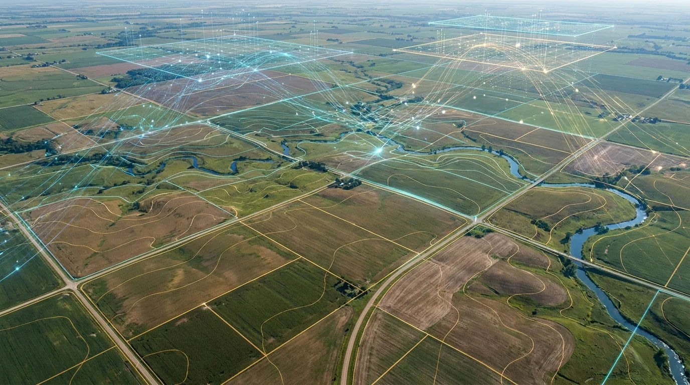
We combine geospatial data with AI and machine learning to automatically detect patterns, classify geographic features and generate predictive insights.
Satellite / Drone
Geospatial Data
AI / ML Models
Spatial Analysis
Intelligence
Decision
Use Cases
Applications Across Industries
Agriculture
Crop monitoring, acreage, yield and agricultural risk.
Climate & Environment
Land monitoring, vegetation, carbon and environmental change.
Infrastructure
Asset mapping, corridor analysis and development monitoring.
Insurance
Risk assessment, damage assessment and spatial verification.
Government
Land management, planning, monitoring and decision support.
Energy & Utilities
Asset mapping, corridor planning and geographic analysis.
Carbon & MRV
Project boundaries, land monitoring, vegetation analysis and geospatial verification.
Real Estate & Land
Land-use analysis, site suitability and development monitoring.
Change Over Time
Monitor What Changes Over Time
Time-series geospatial analysis enables organizations to detect, measure and understand changes across landscapes — in agriculture, vegetation, water, infrastructure and land use.
Baseline Captured
Initial land, vegetation and water conditions are captured as a baseline.
Early Change Detected
Shifts in land use, vegetation and water extent begin to appear.
Trends Established
Patterns of change across agriculture, infrastructure and land use become measurable.
Current State
The latest imagery reflects the cumulative change across the monitored area.
From Raw Data to Decision-Ready Intelligence
Data Acquisition
Data Processing
Spatial Analysis
AI / Intelligence
Decision-Ready Outputs
Typical outputs
Digital Platforms
Bring Geospatial Intelligence to Your Organization
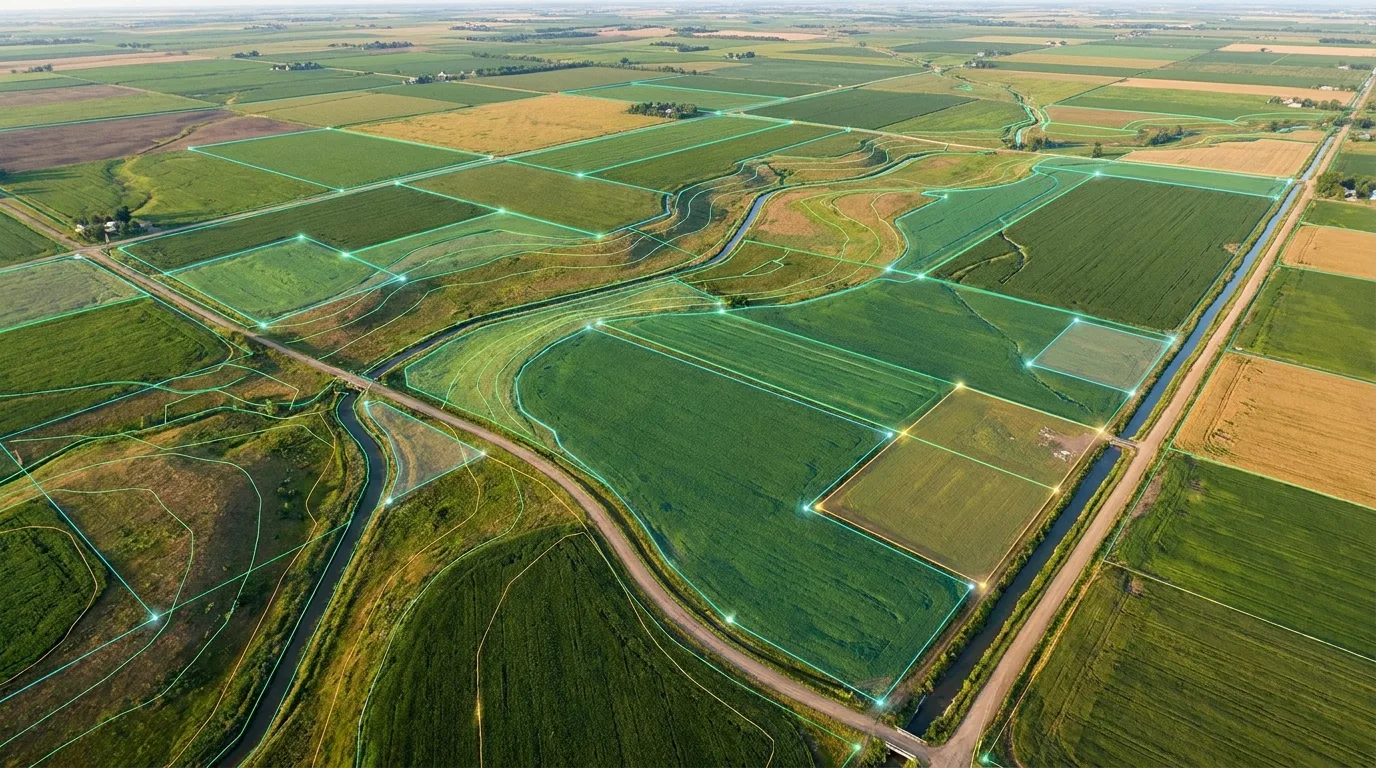
We develop web-based geospatial platforms that make complex spatial information accessible to decision-makers, field teams and enterprise systems.
Consulting
Geospatial Consulting
From GIS strategy and architecture to implementation and managed geospatial operations, we help organizations build scalable geospatial capabilities.
Technology We Work With
GIS
ArcGIS · QGIS · PostGIS · GeoServer
Remote Sensing
Satellite Imagery · Drone Imagery · SAR · Multispectral Data
Cloud
AWS · Cloud GIS · Cloud Storage
Development
Python · FastAPI · React · APIs
AI/ML
Computer Vision · Machine Learning · Deep Learning · Spatial AI
Why Us
Why Organizations Choose Our Geospatial Solutions
Multi-Source Intelligence
Combine satellite, drone, GIS, field and environmental data.
Industry-Focused
Solutions designed around agriculture, climate, land and enterprise requirements.
AI-Enabled
Automate spatial analysis and extract deeper insights from geographic data.
Decision-Ready
Convert complex geospatial datasets into usable maps, analytics, dashboards and reports.
Unlock the Intelligence in Your Spatial Data
Whether you need agricultural monitoring, satellite analytics, GIS consulting, spatial intelligence or a complete geospatial platform, our team can help turn geographic data into actionable intelligence.