Digital dMRV
Digital dMRV Services
Digitizing Measurement, Reporting & Verification for Climate and Carbon Projects.
Combine geospatial intelligence, satellite imagery, field data and digital workflows to build transparent, traceable and evidence-based MRV systems.
AKLYNC provides the technology layer for measurement, reporting, verification and digital evidence generation. Certification and credit issuance are determined by independent standards bodies, validators and verifiers under their own methodologies — not by our platform.
Value Proposition
From Field Data to Verifiable Digital Evidence
Traditional MRV workflows can involve fragmented field records, spreadsheets, manual reporting and disconnected evidence. Our digital dMRV solutions bring geospatial data, remote sensing, field observations and project records into a structured digital workflow.
Measure
Capture project activity and environmental indicators using digital field data, satellite imagery, sensors and other appropriate sources.
Monitor
Track project areas and changes continuously or at defined monitoring intervals.
Report
Generate structured datasets, dashboards, reports and evidence packages.
Verify
Create traceable evidence and audit-ready records that support independent review and verification.
What is Digital dMRV?
What is Digital dMRV?
Digital dMRV uses digital technologies to make measurement, reporting and verification workflows more efficient, transparent and traceable.
Project
Data Collection
Measurement
Monitoring
Analysis
Reporting
Verification Support
Audit Trail
Capabilities
Our Digital dMRV Capabilities
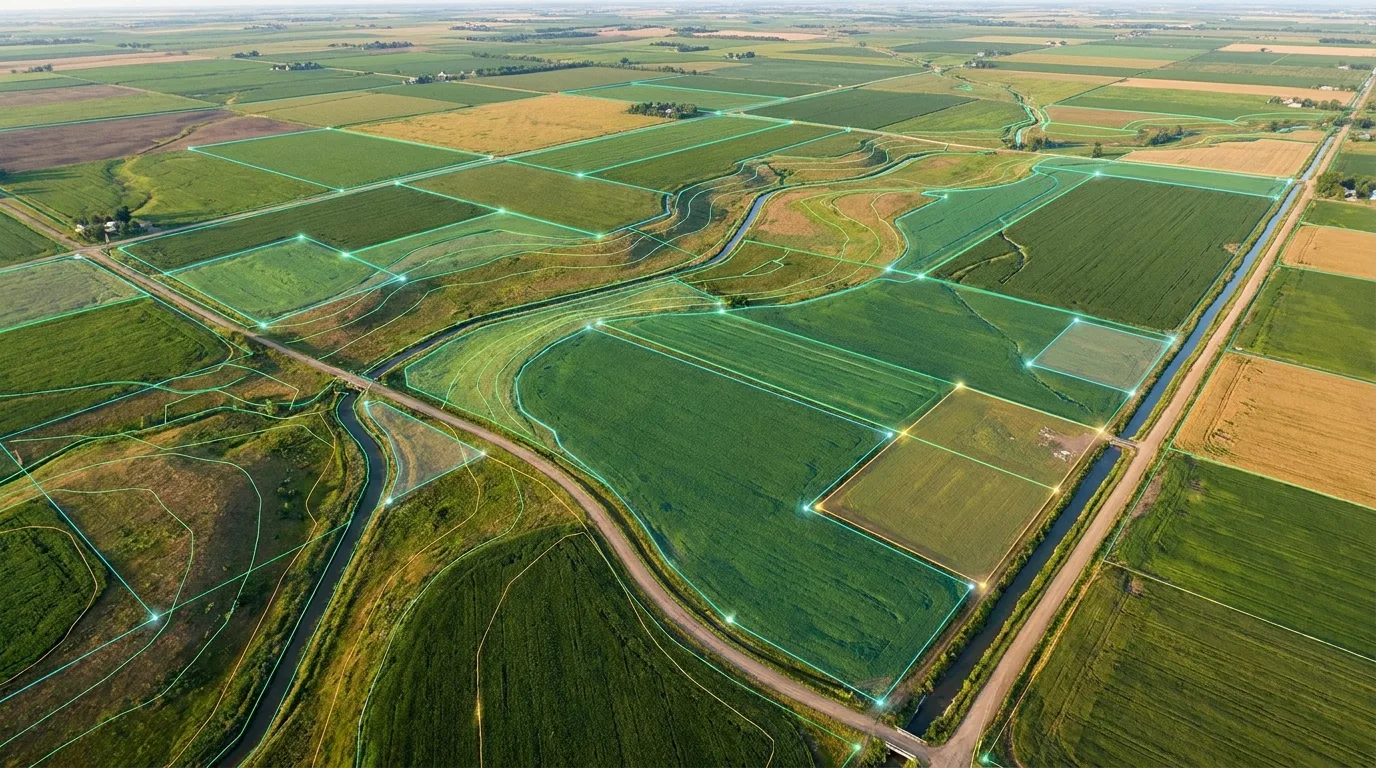
Digital Project Boundaries
Create and manage precise geographic boundaries for carbon, agriculture, forestry and environmental projects.
Remote Sensing Monitoring
Use satellite and other Earth-observation data to monitor vegetation, land cover and project-area changes.
Field Data Collection
Digitize field observations, GPS locations, measurements, photographs and project activities.
Spatial & Environmental Analytics
Analyze project conditions, land changes, vegetation dynamics and spatial patterns.
Evidence Management
Organize geotagged photographs, measurements, datasets and supporting evidence into structured digital records.
Reporting & Verification Support
Generate dashboards, reports and traceable evidence packages to support project monitoring and independent verification.
Looking for more on the geospatial, satellite and AI technology underneath dMRV? See our Geospatial Intelligence capabilities.
Field Data
Digitize Field-Level Measurement
Replace fragmented field records with structured digital observations linked to geographic locations, timestamps and project activities.
Field
GPS Location
Observation
Photograph
Measurement
Digital Record
Explore the methods
Tap a methodology to dive in
Each pathway shows what it is, how we measure it, and its typical impact.
Digital Rice Emissions & Monitoring
Satellite-first MRV for rice cultivation
A satellite-and-sensor pathway for rice carbon projects, built to reduce reliance on manual field visits while producing an evidence trail suitable for third-party verification.
- Flooding cycles via radar time-series
- Field-level water regime classification
- Plot boundary integrity over each season
10x
faster reporting cycles vs. manual audits
Illustrative trend, not measured data.
Applications
dMRV for Climate & Environmental Projects
Agroforestry
Monitor project boundaries, vegetation and field-level activities.
Afforestation & Reforestation
Track project areas, vegetation establishment and land-cover changes.
Agriculture
Monitor agricultural practices, land use, vegetation and project activities.
Forest Monitoring
Track vegetation and land-cover conditions using geospatial and remote-sensing data.
Soil & Land Projects
Support measurement and monitoring workflows for soil and land-based environmental projects.
Nature-Based Projects
Build spatially traceable monitoring workflows for environmental projects.
Digital Evidence
Build a Traceable Evidence Chain
Every measurement and observation can be linked to its location, time, source and supporting evidence to create a transparent digital project record.
Data Source
Location
Observation
Measurement
Analysis
Report
Evidence
Audit Trail
Trace Every Project Record
Maintain structured records of project activities, data sources, observations and reporting events to support transparency and auditability.
Project Created
Boundary Defined
Baseline Data Captured
Monitoring Event
Field Observation
Satellite Observation
Analysis Completed
Report Generated
Verification Review
Dashboard
One Dashboard for Project Monitoring
Illustrative representation of a project monitoring dashboard.
Reporting
Turn Monitoring Data Into Structured Reports
Transform project measurements and monitoring data into standardized datasets, visualizations and reporting outputs suitable for project management and verification workflows.
Verification Support
Verification-Ready Digital Evidence
Our dMRV workflows organize project data and supporting evidence to make independent review and verification more transparent and efficient.
Traceability
Track the origin and context of project records.
Geospatial Evidence
Connect observations to geographic locations.
Time-Stamped Records
Maintain temporal context for monitoring activities.
Structured Evidence
Organize supporting records into a consistent digital workflow.
Workflow
How Our Digital dMRV Workflow Works
Project Setup
Define Boundaries
Baseline Data
Data Collection
Remote Monitoring
Spatial Analysis
Reporting
Verification Support
Use Cases
Built for Multiple Climate & Environmental Applications
Why Us
Why Build Your dMRV With Us?
Geospatial First
Build project monitoring around precise geographic data.
Multi-Source Data
Combine satellite, drone, field and environmental data.
Digital Evidence
Create structured, traceable project records.
Scalable
Support projects from individual sites to large geographic programs.
Technology Flexible
Integrate with existing GIS, data and enterprise systems.
Make Your MRV Digital
Build a more transparent, traceable and data-driven measurement, reporting and verification workflow for your climate or environmental project.